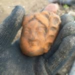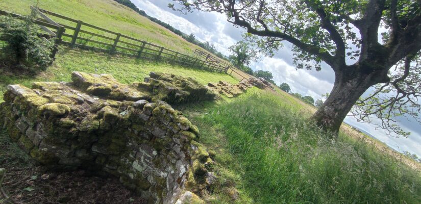
Birdoswald Roman Fort and Excavation, Northumberland, England, UK. July 2023
The Site
Along the Irthing River in Northumberland, between the areas of Gisland (east) and Triermain (west) sits Birdoswald. From prehistory to the present, this settlement has been a hive of activity providing land for prehistoric burial, Roman barracks, medieval raids, and early modern farming. To visit Birdoswald today is to be confronted by impressive remains of the Roman age. Amongst the fields of golden wheat, we find the ancient fort of Banna, home and garrison to Roman soldiers.
Past Archaeology
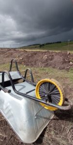
To understand how Banna was built, used, and fell into ruin, many archaeological excavations have taken place at the site. From the Potter Brothers’ 1850s explorations of the fort gates, to 1890s investigations by Francis Haverfield and the Cumberland Excavation Committee, and the 1920s excavations by specialists Frank Gerard Simpson, Eric Birley and Ian Richmond. These explorations produced benchmark maps, plans, and ideas about Birdoswald, that enabled more thorough and scientific excavations to take place during the 1990s and 2000s. Over the last 40 years consecutive digs and surveys by Cumbria County Council, Historic England, and Newcastle University have been collectively gathering evidence to better understand this complex site.
The Roman Fort
The fort itself is rectangular in shape with curved corners. In each of the walls, there are main and smaller gates to control access to the fort by pedestrians and carts. The main gates on the east and west walls are connected by a road, the via principalis, which follows the line of an earlier turf wall. The northernmost wall of the site connects two courses of Hadrian’s wall, also running east and west (see the official plan here). To the south of the via principalis, lay the remains of two large granaries – stores for the grain needed for bread and cereals.
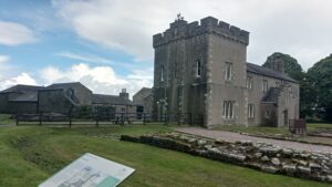
Periodically around the walls or the site are watch towers, looking out over the surrounding land which would likely have been used by traders, craftspeople and allies. To the north, there is evidence of workshops, drill halls and barracks, the latter of which are now situated under the 18th-century farmhouse. The soldiers would have used these spaces to live, eat, relax, and practice battle. It is unclear whether families and friends were allowed in any part of Banna, but there certainly was interaction between locals, non-soldiers, and Roman soldiers.
This season’s excavations – run by co-directors Prof. Ian Haynes and Tony Wilmott – have been exploring three new areas of the site: (i) the use of the area beyond the fort in the field to the north of the site, (ii) a bathhouse complex discovered in an earlier season to the east of the fort, and (iii) an area of habitation, crafting, and internment to the west of the site. Through the torrential rain and intense sunbursts, archaeological students and experts from Newcastle University and the core Birdoswald team have been diligently removing sediments to reveal what lies beneath.
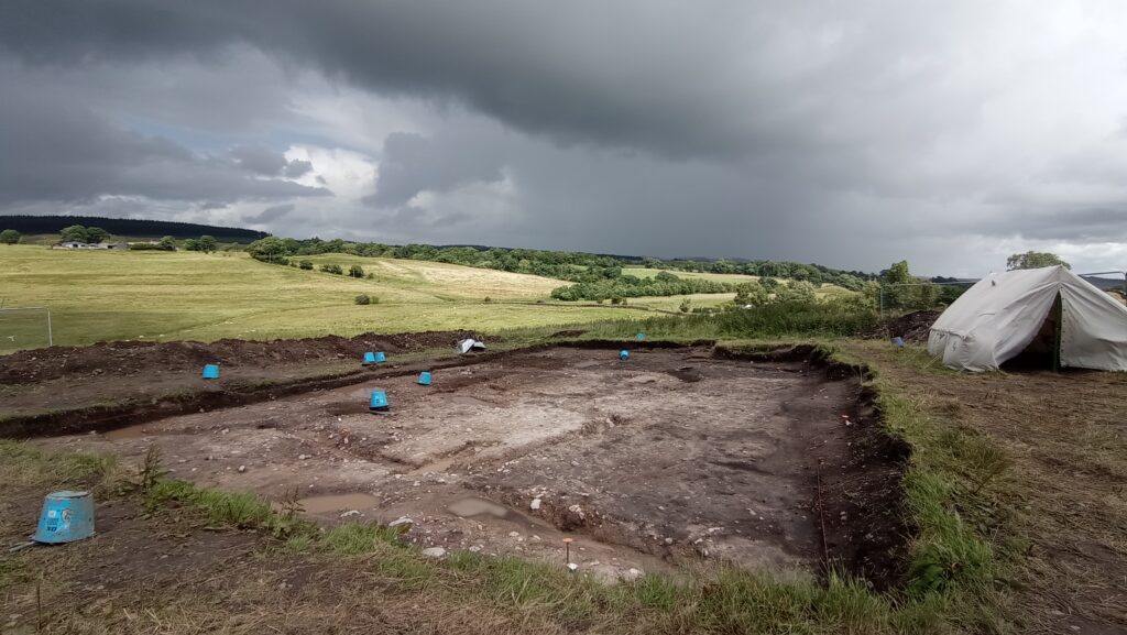
Area (i) turned up some fascinating features, suggesting the use of timber frame buildings and areas for metalworking. This trench is outside the fort, to try and situate Birdoswald in its wider environment. Soil samples will also be taken, and examined back in the lab. Any evidence of crops, burning, molluscs (which need specific weather conditions to survive) and microscopic fragments left behind during smelting, smithing, potting, and animal farming, could provide critical answers to questions about the people beyond the fort. What was going on outside of Banna? How did it change over time? Who was using the areas and what for? Even the smallest seed can help to answer these questions.
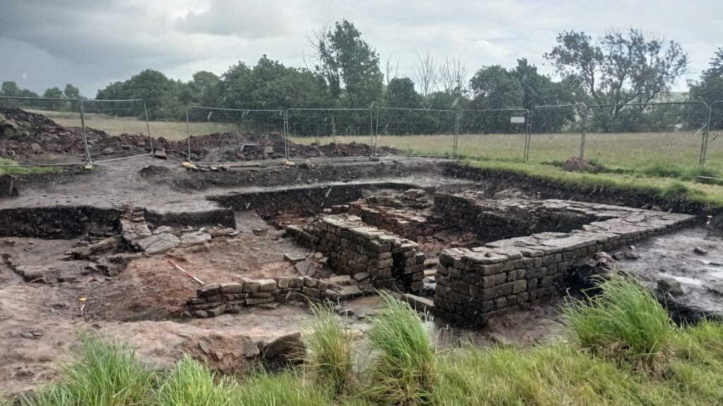
Area (ii) included deeper excavations of a known bathhouse. Structural remains of a series of rooms can be seen. Like Roman settlements, bathhouse often adhered to a standardised plan, so it is likely these rooms housed hot and cold pools, similar to a modern spa. The stacks of tiles in the far corner, and areas of black earth to the right of the walls are representative of raised floors and a heating system. Finds from such sediments can be very well preserved though we will have to wait until next year to see the full extent of these ruins, and what stories lie beneath.
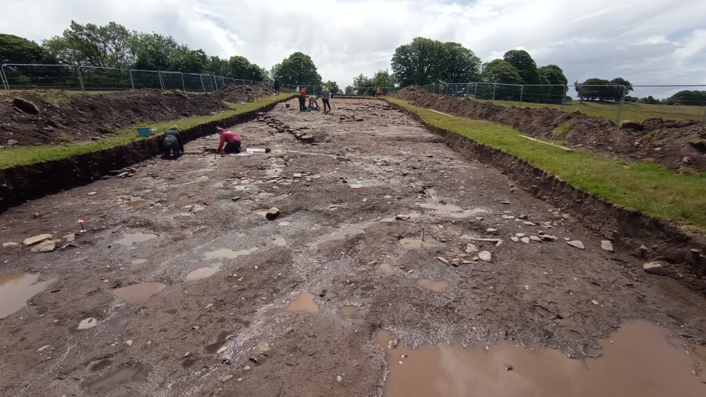
Area (iii) was the largest of the trenches this year, running from north to south on the west side of the site. Sat between Hadrian’s wall and the river, this area had been used, left open, reused, extended, and buried in multiple phases. The complexity of this area means that archaeologists must take their time to uncover. By doing so in the right stratigraphic order, the supervisors and directors can begin to piece together what happened over time. Hindered by the persistent wind and rain, it will be up to next year’s field team to provide some more concrete answers for this area. Archaeology can be a slow process. As the very nature of archaeological excavation is destructive, it is important to record everything in painstaking detail. Many of the answers to research questions can only be drawn from the cross-examination of evidence from multiple excavations, finds, and samples. To ensure future scientific processes can be applied to important sites such as Birdoswald, the desire to open the whole site must be denied. You can read more about the directives of the 2023 excavations here. Nonetheless, thanks to the excellent work of July’s excavators, we can already see evidence of various occupational and activity phases, which used the fields near the river for domestic dwellings, craft workshops, and possible burial sites.
Next season’s excavations will be the last at Birdoswald for the foreseeable future, so make sure you don’t miss out! These will likely take place during July 2024 (watch this space), and free site tours are given daily during this time.
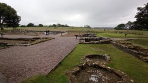
Before then, come and enjoy the rest of the site which is open all year round. Most of the open ruins are accessible by flat paths, and there is a car park within 5 minutes walk of the site. There is a small, steep hill between the car park and site, so if you require closer parking and have a badge, know that there are accessible places next to the farmhouse. Explore the ruins, have tea and a hot vegan sausage roll in the shop, and lose yourself in the history of this fascinating site.
Further Resources:
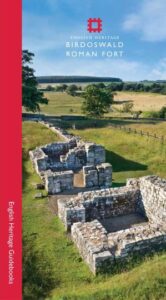 For an excellent and much more detailed account of this important site and its development through the ages, I recommend the guidebook written by Co-Director of the site Tony Wilmott. It is full of maps and images and all for £5.
To help with your visit you can also download the official English heritage students site pack, and the Activity Trail Pack (suitable for Teachers and Families – answer sheets included). These packs are great fun, but also very informative, so adults – make sure you use them too!
